What Is Aviation Weather? The Five Numbers That Decide a Flight
A public forecast says cloudy with a chance of rain. That sentence is useless to a flight, and not because it is wrong — because it answers a question nobody in an operations room is asking.
Aviation weather reports the same atmosphere in the terms that actually decide something: how high the cloud starts, how much of the sky it covers, how far you can see along the runway, which way the wind is blowing and how hard, and what the pressure is set to. Five numbers, and between them they determine whether an approach is legal, how much runway is needed, and whether ice will form on the wing.
Why aviation needs its own weather#
Everything an aircraft does is a margin calculation, and weather moves the margins. A wing produces less lift in hot, thin air, so a summer afternoon can mean leaving passengers or fuel behind. A wet runway lengthens the distance needed to stop. A cloud base at 400 feet makes an approach that is perfectly routine at 1,400 feet illegal for most operators. None of that is visible in a forecast written for the public, which is why aviation has its own products, its own units and its own vocabulary.
- Cloud base is reported in hundreds of feet above the aerodrome, not in vague terms like ‘low cloud’.
- Coverage is measured in oktas — eighths of the sky — because the amount decides whether a layer counts as a ceiling.
- Visibility is reported in metres almost everywhere, and in statute miles in North America.
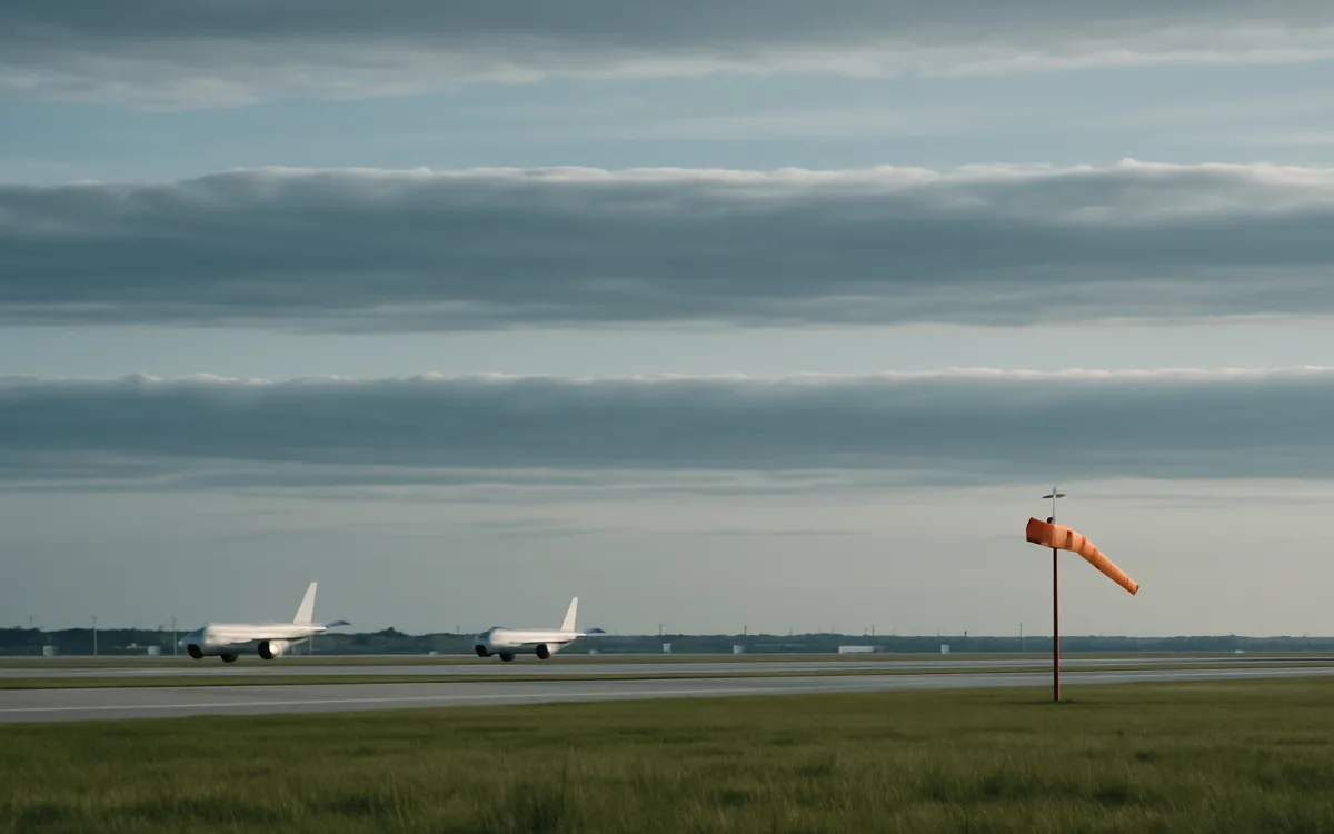
- Wind is direction to the nearest ten degrees plus speed in knots, because crosswind is a component you calculate.
- Pressure is given as QNH so every altimeter in the area reads the same height above sea level.
The unit choices look arbitrary until you notice they all exist to be put straight into a calculation. Nothing in an aviation report is descriptive for its own sake.
The five numbers, and what each one decides#
| Number | Reported as | What it decides |
|---|---|---|
| Cloud base | Layer coverage plus height in hundreds of feet | Whether an approach is legal and which one can be flown |
| Visibility | Metres, or statute miles in North America | Approach minimums, taxi procedures, whether VFR is possible at all |
| Wind | Direction and speed, plus gusts | Runway in use, crosswind component, performance on takeoff |
| Temperature and dew point | Degrees Celsius, with the spread | Icing risk, fog formation, engine and wing performance |
| Pressure | QNH in hPa, or altimeter setting in inHg | Altimeter setting, and therefore actual height above terrain |
The temperature and dew point pair is the one non-pilots overlook. When the two converge, fog is close; when the temperature is near freezing in visible moisture, ice is close.
The two products everything else hangs off#
Aviation weather is delivered through a small number of standard products, and two of them carry most of the daily weight. The METAR is an observation: what is measured at the aerodrome right now, issued every half hour or hour, with a SPECI in between when something changes sharply. The TAF is a forecast for the area around that aerodrome, usually covering 24 or 30 hours, written only in terms of what is expected to be operationally significant.
- METAR — observed conditions at an aerodrome, the raw material of every briefing.
- TAF — aerodrome forecast, written in change groups rather than a continuous description.
- SIGMET and AIRMET — warnings of hazardous phenomena en route, issued by the responsible watch office.
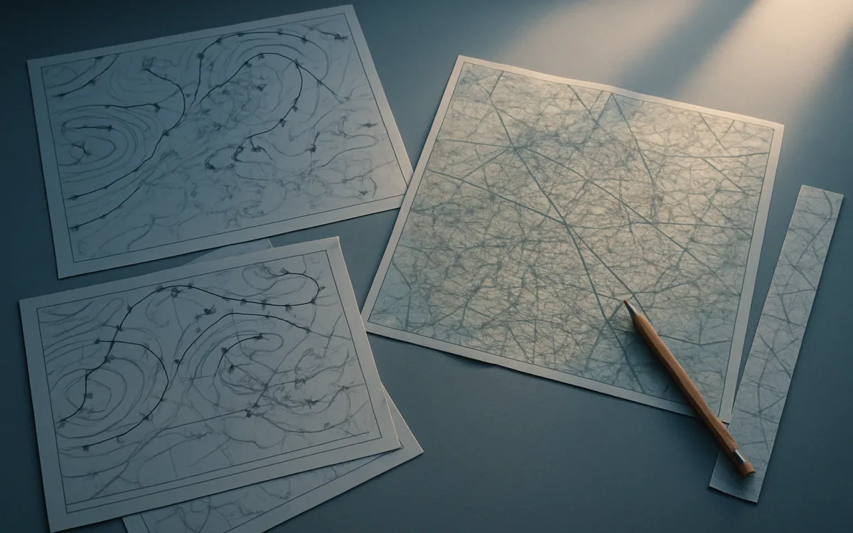
- Significant weather charts — the graphical picture of fronts, jets and hazard areas at cruise levels.
- Volcanic ash advisories — issued by the VAAC, and the only source that matters for ash.
A briefing is not one product. It is the sequence: the charts for the big picture, the TAFs for the aerodromes, the METARs for what is actually happening, and the warnings for anything moving.
How weather becomes a delay#
Passengers experience weather as a delay board, and the chain behind it is short and mechanical. Low visibility does not stop aircraft landing; it reduces the rate at which they can land, because separation on approach has to increase. A runway with standing water reduces the accelerate–stop margin, so departures slow down. De-icing adds a fixed number of minutes to every departure and there are only so many rigs. Thunderstorms do not close airports so much as close route segments, and a line of cells can shut a corridor for hours.
| Weather | Direct effect | What passengers see |
|---|---|---|
| Low ceiling or visibility | Approach rate falls | Holding, then rolling delay across the day |
| Thunderstorms en route | Route segment unusable | Long taxi waits and reroutes |
| Snow and ice | De-icing time added per departure | Departure slots collapse |
| Strong crosswind | Runway changes or arrival rate falls | Go-arounds, occasional diversion |
| High temperature | Performance limited | Weight restrictions, offloaded cargo |
Where it stops being a website subject#
Everything above can be learned from published documentation, and this site exists to explain it. What cannot be learned from a website is whether a specific flight should go. That decision rests with the pilot in command, on an official briefing from the meteorological service designated for the airspace, against the operator’s own minimums and the aircraft’s limitations.
Read guides to understand what the reports mean. Read the official briefing to fly. Any site that blurs the two is doing something it is not allowed to do.
Frequently asked questions
What is aviation weather in simple terms?
It is meteorological information reported specifically for flight, in units that can be put directly into a decision. Instead of ‘cloudy with rain later’, an aviation report gives the height of each cloud layer in hundreds of feet, how much of the sky it covers, the visibility in metres, the wind direction and speed, the temperature and dew point, and the pressure setting. Those numbers determine whether an approach is legal, how much runway is required and whether ice is likely, which is why aviation maintains its own products rather than using public forecasts.
What weather information do pilots actually use?
Four layers of it. Significant weather charts give the big picture — fronts, jet streams, hazard areas at cruise level. TAFs give the forecast for each aerodrome along the route, including the alternate. METARs give what is actually happening now at those aerodromes. SIGMETs and AIRMETs warn about hazardous phenomena in flight, such as severe turbulence, icing or volcanic ash. A briefing works through all four, in that order, because each answers a different question.
Why do flights get delayed even when the weather looks fine?
Because the limiting weather is usually somewhere else. A clear sky at the departure airport tells you nothing about a line of thunderstorms sitting across the route, fog at the destination, or a runway closed for snow clearance two hours ahead of your arrival. Network effects do the rest: an aircraft delayed by weather at 07:00 in one country is late for its next four sectors, so a calm afternoon at your airport can still produce a two-hour delay.
what is aviation weatheraviation weather explainedaviation weather basicsMETAR TAF explainedhow weather affects flightspilot weather briefing