Aviation weather guides worth reading first
View all guides
Where Aviation Weather Actually Comes From (and Which Sources Count)
Which organisation issues the report you are reading, why only some sources are legally usable for a flight, and what the free apps are really showing you.
How Weather Affects Flights: Delays, Diversions and Cancellations
Why a clear sky at your airport still produces a two-hour delay, what actually triggers a diversion, and which weather cancels a flight outright.
What Is Aviation Weather? The Five Numbers That Decide a Flight
Aviation weather is the same atmosphere reported differently: cloud base in feet, visibility in metres, wind to ten degrees. Here is what each number decides, and why.
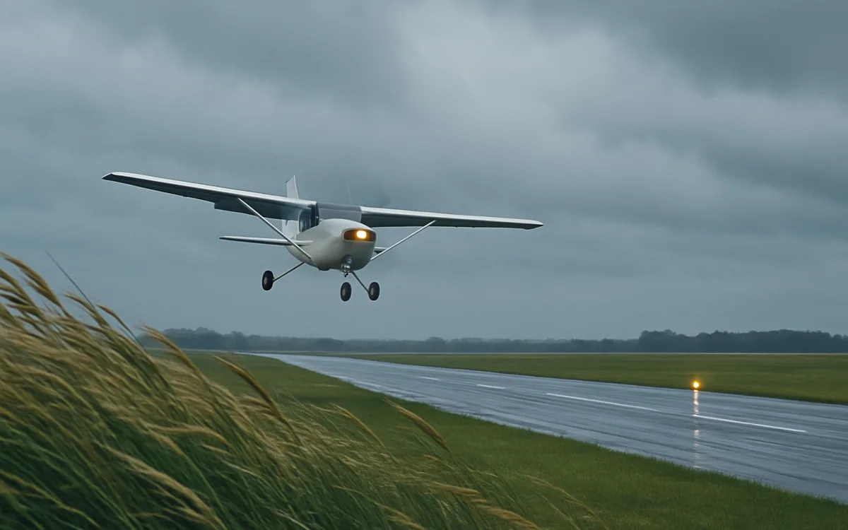
Crosswind and Runway Condition: Turning Wind Into a Number
How to convert a reported wind into a crosswind component, what a demonstrated limit actually is, and why a wet runway lowers the usable figure.

The Preflight Weather Briefing: A Checklist That Works
A briefing is a sequence, not a website. Here is the order that answers the route questions before the aerodrome ones, and the checks people skip.
Reading the reports, and the hazards behind them
View all report guides
METAR and TAF Abbreviations: The Complete Decoder Table
Every abbreviation you will meet in a routine report, grouped by where it appears — intensity, descriptor, phenomenon, cloud, trend and the runway groups.
How to Read a TAF: Change Groups, Windows and Probability
A TAF is not a METAR for later. It is a forecast written in change groups — BECMG, TEMPO, PROB30 — and reading it means reading the transitions.
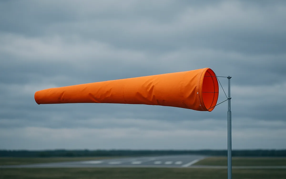
How to Read a METAR: Every Field, in Order
A METAR is one line in a fixed order. Read it left to right and each group answers a different question — here is what each one says and what it decides.

Turbulence: The Four Types, and Which Ones Can Be Forecast
Clear-air, mechanical, convective and wake turbulence come from different causes and are predicted with very different success. Here is which is which.
Aviation weather by region
All regionsExplore more aviation weather guides
Report decoders, hazard explainers and regional briefings that make the difference between reading a forecast and understanding it.
Browse all guidesEvery guide we publish Ask about a flightTell us what you are looking at
Why read us first
- Every guide is written and reviewed in house, and carries the date of its last review.
- Thresholds are quoted with their source — ICAO Annex 3, FAA flight categories, the national service that publishes them.
- Nothing here replaces an official briefing, and every page says so instead of implying otherwise.
- The decoder runs in your browser: the report you paste never leaves the device.
- Every guide exists in twelve languages with its own URL, not a machine pop-up.
- Nothing is behind a signup: no email wall, no locked chapters, no upsell.
Frequently asked questions
What is aviation weather, and how is it different from an ordinary forecast?
Aviation weather is the same atmosphere reported in a different way, because flights care about different things than picnics do. A public forecast tells you it will be cloudy with a chance of rain. An aviation report tells you the cloud base in hundreds of feet, how much of the sky each layer covers, the visibility in metres or statute miles, the wind direction to the nearest ten degrees, the temperature and dew point, and the pressure setting to a hectopascal — because those five numbers decide whether an approach is legal, how much runway is needed, and whether ice will form on the wing. The two main products are the METAR, an observation of what is happening now, and the TAF, a forecast for a specific aerodrome over a fixed window.
How do I read a METAR?
Left to right, in a fixed order: station identifier, day and time in UTC, wind as direction and speed, visibility, present weather, cloud layers from the lowest up, temperature and dew point, pressure, and finally a trend group. So EGLL 121250Z 24012KT 9999 FEW035 SCT120 14/09 Q1013 NOSIG reads as: Heathrow, on the 12th at 12:50 UTC, wind from 240° at 12 knots, visibility 10 km or more, a few clouds at 3,500 ft and scattered at 12,000 ft, 14 °C with a dew point of 9 °C, pressure 1013 hPa, no significant change expected. The decoder on our regions pages will do this for any report you paste, in your own language.
What is the difference between a METAR and a TAF?
A METAR is an observation and a TAF is a forecast. The METAR describes conditions measured at the aerodrome, normally issued every half hour or hour, with a SPECI in between when something changes sharply. The TAF forecasts conditions in a defined area around the aerodrome for a period that is usually 24 or 30 hours, and it only mentions weather expected to be significant for operations. That is why a TAF looks sparser: it is written in change groups — BECMG, TEMPO, PROB30 — that describe what will alter and when, rather than painting the whole picture again.
Which weather causes the most flight delays?
It depends on the season and the region, but four causes dominate. Thunderstorms close whole route segments and cause the largest en-route disruption, because cells are avoided laterally and a line of them can shut a corridor for hours. Low visibility and low ceilings reduce the arrival rate at busy airports, which builds delay across the network even when individual flights still land. Snow and ice add de-icing time to every departure and cut the number of movements the runway can take. Strong crosswinds slow arrivals and occasionally force a diversion. In most northern-hemisphere networks, winter contamination and summer convection account for the two annual delay peaks.
Is this site an official weather source?
No, and it is important to be exact about that. We explain what aviation weather products contain and how to read them; we do not issue, relay or forecast anything. The authoritative source is the meteorological service designated by the state — the Aviation Weather Center in the United States, the Met Office and DWD in Europe, the IMD in India, REDEMET in Brazil, and so on — and each of our region pages links the relevant one. A flight must be planned on an official briefing, and the pilot in command is the only person who can decide whether it goes.
How far ahead is aviation weather actually reliable?
Reliability drops sharply with time, and the useful horizon depends on the phenomenon. Wind and temperature at cruise level are reasonably good three to five days out. Frontal timing — when the rain or the wind shift arrives — is often uncertain by several hours even inside 24 hours, which is why a TAF is amended so frequently. Convection is the hardest: forecasters can say a region is likely to develop storms, but where an individual cell will stand at 16:00 is not knowable a day ahead, which is why the tools that matter for thunderstorms are radar and satellite in the last hours rather than a forecast made yesterday.