Monsoon and Tropical Aviation Weather: Flying the Wet Season

The monsoon is not a storm. It is a seasonal reversal of the prevailing wind, driven by the difference in how fast land and ocean heat, and it changes the weather regime over a subcontinent for months at a time.
For aviation the consequence is specific and predictable: months of low ceilings, reduced visibility, standing water on runways, and convection embedded inside layers that look uniform from the flight deck. None of that is dramatic. All of it is operationally expensive.
What the monsoon does to an operation#
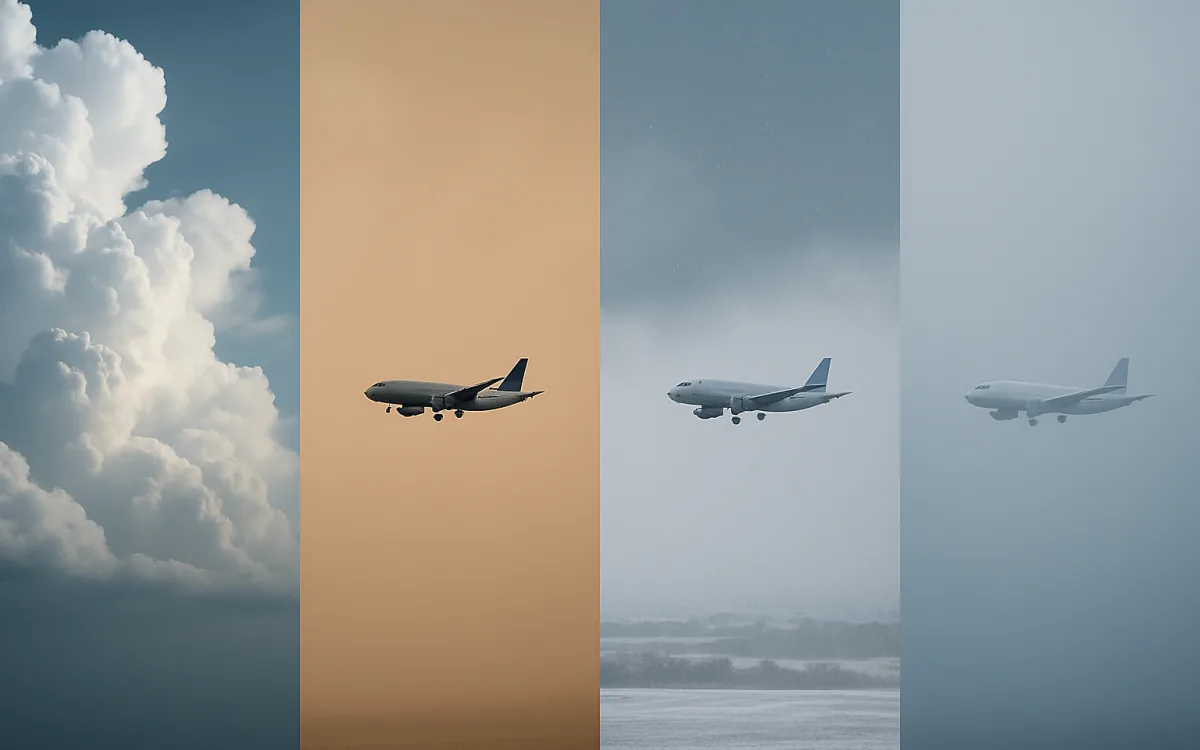
The southwest monsoon over South Asia runs from roughly June to September, and it arrives as a wall of moisture rather than as individual weather events. Rainfall rates are high enough to produce standing water faster than drainage can clear it. Ceilings sit low for days. And embedded convection is the specific hazard: cells hidden inside a wider layer, which cannot be seen visually and have to be found on radar.
- Standing water and aquaplaning risk, which changes the landing distance required.
- Low ceilings for extended periods rather than in short episodes.
- Embedded cumulonimbus inside stratiform cloud — invisible, radar-only.
- Reduced visibility in continuous heavy rain, well below what the ceiling alone suggests.
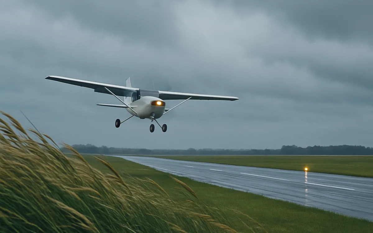
- Crosswind from a prevailing direction that may not favour the main runway.
The monsoon is one of the few weather regimes where the schedule is planned around it in advance. Airlines add block time and plan for reduced arrival rates for the season, rather than absorbing it day by day.
Tropical convection is daily, not seasonal#
Away from the monsoon belt, in the equatorial tropics, the dominant pattern is diurnal. Surface heating builds cumulus through the morning, cells mature in the afternoon, and the whole cycle repeats the next day. Tops routinely exceed anything an airliner can overfly, which means avoidance is lateral and planned into the fuel, not improvised.
| Time of day | Typical state | Operational effect |
|---|---|---|
| Early morning | Clearest period, occasional fog or low stratus | Best departure window |
| Late morning | Cumulus building rapidly | Deviations begin |
| Afternoon | Mature cells, highest tops | Peak deviations, holding, occasional diversion |
| Evening | Cells decaying, outflow and gust fronts | Windshear risk on approach |
| Night | Residual layers, occasional overnight systems | Generally workable |
This is why so many tropical long-haul departures are scheduled at night or early morning. The pattern is reliable enough to build a timetable around.
Tropical cyclones#
Typhoons, hurricanes and cyclones are the same phenomenon under different regional names, and for aviation they close airports rather than complicate them. The forecast track is published days ahead by the responsible centre, which is why airlines cancel pre-emptively — a cancellation two days out is cheaper and safer than a diversion on the day.
| Basin | Local name | Season |
|---|---|---|
| Western North Pacific | Typhoon | Effectively year-round, peak July–October |
| North Atlantic and eastern Pacific | Hurricane | June–November |
| North Indian Ocean | Cyclone | April–June and October–December |
| South Indian Ocean and South Pacific | Cyclone | November–April |
Even well outside the eye, the outer bands produce severe turbulence, heavy rain and strong crosswinds, so the operational impact is much wider than the storm itself.
How the reports read differently#
The code is the same; what fills it is not. TAFs in the tropics lean heavily on TEMPO and PROB groups because the convection is certain to happen and its exact placement is not. Visibility groups swing hard within a single hour. And where the aerodrome network is sparse, the nearest useful observation may be a long way from where you are going.
- Expect PROB30 or PROB40 TSRA on almost every wet-season afternoon TAF; it is the honest forecast, not a hedge.
- TEMPO groups carrying 1000 or 0800 visibility in heavy rain are routine.
- CB in the cloud group is common rather than exceptional.
- Windshear reports around the evening gust front deserve particular attention.
- Haze — HZ — can persist for weeks in some years and is a separate problem from the rain.
Planning around it#
- Fly early where the schedule allows: the diurnal convective cycle is reliable enough to plan around.
- Carry realistic extra fuel for deviations and holding, not the legal minimum, through the wet season.
- Choose an alternate that is genuinely independent — one far enough away not to be under the same system.
- Read the runway condition and expect reduced braking action; recompute landing distance for a wet or contaminated surface.
- Watch for the gust front on approach in the evening, which is where windshear appears after the cells decay.
- Check the tropical cyclone advisories for the basin days ahead, not on the morning.
None of this is exotic. It is ordinary planning done with the season’s numbers rather than the annual average.
Frequently asked questions
How does the monsoon affect flights?
Through sustained conditions rather than individual events. Months of heavy rain produce standing water on runways, which increases the landing distance required and brings aquaplaning risk. Ceilings sit low for days at a time, cutting arrival rates. Visibility drops in continuous rain well below what the cloud base alone would suggest. And convection embedded inside otherwise uniform layers cannot be seen visually, so it has to be found on radar. Airlines add block time for the season rather than absorbing it day by day.
Is it dangerous to fly during the monsoon?
It is more demanding, not intrinsically dangerous. The operation is designed around it: crews are trained for contaminated runway performance, aircraft are certified for heavy rain, radar finds the embedded cells, and airports in monsoon regions have drainage and procedures built for it. What passengers experience is more delay, more holding and more turbulence on approach. The genuine hazard cases — a cell over the airfield, severe windshear on a gust front — are the ones the operation is set up to avoid rather than to fly through.
Why do tropical thunderstorms happen every afternoon?
Because it is a diurnal cycle rather than a weather system. Strong equatorial surface heating and abundant moisture build cumulus through the morning, cells mature in the afternoon when the heating peaks, and they decay in the evening — then the same thing happens the next day. Tops routinely exceed the altitude an airliner can overfly, so avoidance is lateral and planned into the fuel. It is also why many tropical long-haul departures are scheduled at night or early morning.
monsoon aviation weathertropical aviation weatherflying during monsoontyphoon flight cancellationsembedded thunderstormstropical convection aviation