Aviation Weather by Region: What Each Part of the World Briefs For
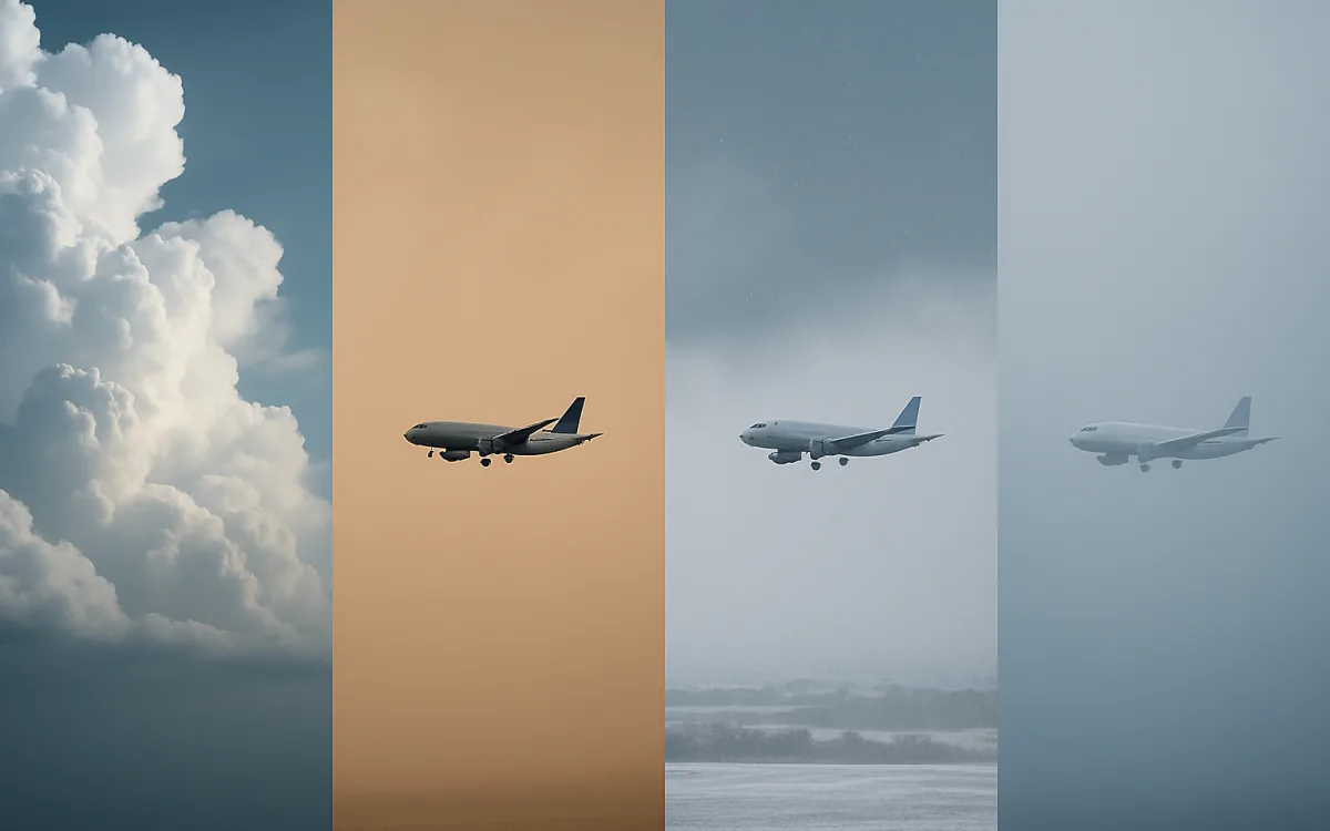
Every pilot who moves between continents notices the same thing: the briefing changes shape. In northern Europe the argument is about visibility and contamination. In Southeast Asia it is about convection, every single afternoon. In the Gulf it is about heat and dust. The aircraft has not changed; the atmosphere has.
This guide is the map of that — what each region briefs for, when its demanding season falls, and which national service is the authority for it.
Why weather is a regional subject#
Three things vary systematically with geography and produce almost all of the difference: how much moisture the air can hold, how strong the temperature gradients are, and what the terrain does to the wind. Warm oceans give convection. Steep gradients give jet streams and the clear-air turbulence beside them. Mountains give wave and rotor. Everything in the table below follows from those three.
- Tropical latitudes: daily deep convection, high cloud tops, tropical cyclones in season.
- Mid-latitudes: frontal systems, jet streams and the winter–summer swing between contamination and convection.
- Continental interiors: the widest temperature range, severe convection and the strongest surface heating.
- Maritime margins: fog, low stratus and persistent wind rather than storms.
- Mountainous regions: wave, rotor, downdraughts and rapid local changes.
The regions at a glance#
| Region | Dominant hazards | Demanding season |
|---|---|---|
| North America | Convection, icing, snow, fog | May–August convection; November–March winter |
| Western Europe | Fog, low visibility, crosswind, icing | October–February |
| Northern Europe | Snow, icing, contamination, crosswind | November–April |
| Mediterranean | Crosswind, autumn convection, dust | June–September wind; September–November storms |
| Middle East | Dust, heat, shallow fog, windshear | March–June |
| South Asia | Monsoon, low visibility, convection | June–September monsoon; December–January fog |
| Southeast Asia | Daily convection, tropical cyclones, haze | All year, worst May–October |
| East Asia | Typhoons, clear-air turbulence, dust | July–October |
| Oceania | Mountain wave, wind, convection | June–September wind; November–March storms |
| South America | Andean wave, convection, volcanic ash | November–March |
| Africa | Harmattan dust, ITCZ convection, heat | December–March dust; March–June storms |
| North Atlantic and Arctic | Icing, turbulence, snow, ash risk | October–April |
Each region has its own page on this site with the representative airports, the hazard definitions and links to the responsible meteorological service.
The seasonal patterns that move#
Two of the biggest regional patterns are not fixed at all — they migrate, and the migration is what you plan around. The intertropical convergence zone, the belt where the trade winds meet, moves north and south across the year and drags a band of severe convection with it across Africa, South America and the Indian Ocean. The monsoon does something similar on a larger scale over South and Southeast Asia, reversing the prevailing flow and changing the weather regime wholesale for months.
- The ITCZ sits north of the equator in the northern summer and south of it in the northern winter.
- The southwest monsoon runs roughly June to September over South Asia, the northeast monsoon roughly October to December.
- Tropical cyclone seasons differ by basin: the western Pacific runs almost year-round, the North Atlantic June to November.
- The northern jet stream strengthens and moves south in winter, which is why winter transatlantic crossings are faster eastbound and rougher.
- Harmattan dust over West Africa follows the northeast trades from about December to March.
Seasonal climatology tells you what to expect and what to plan capacity around. It never tells you what tomorrow will do, and confusing the two is the classic mistake in reading a guide like this one.
Where the reports themselves differ#
Format is international, but coverage is not. Dense networks in North America, Europe, Japan and Australia produce reports from small aerodromes at half-hourly intervals. Elsewhere the network is sparser, some stations report only during operating hours, and automated stations may not report present weather at all. A missing METAR is not good weather; it is a missing METAR.
| What varies | Consequence |
|---|---|
| Station density | Long gaps between observations on some routes |
| Reporting hours | No report outside the aerodrome’s operating hours |
| Automation | AUTO reports may omit present weather and cloud type |
| Visibility units | Statute miles and inHg in North America, metres and hPa elsewhere |
| Remarks section | Rich in North America, often empty elsewhere |
| Access | Some states restrict briefing systems to licence holders |
Using this practically#
- Start with the regional pattern to know what the season is likely to throw at you.
- Read the aerodrome TAFs for the actual forecast — the pattern is context, never a substitute.
- Check which service is authoritative for the airspace and use its briefing channel.
- Note where the observation network thins, and plan alternates accordingly.
- Watch for the migrating features — ITCZ position and monsoon onset move by weeks, not on a calendar.
Every regional page on this site links the responsible national service. Read this guide for the shape of the problem, then go to them for the answer.
Frequently asked questions
Which region has the most difficult aviation weather?
There is no single answer, because the difficulty is of different kinds. Northern Europe and Canada impose the highest winter workload through contamination and de-icing. Southeast Asia has the most persistent convective hazard, with deep cells almost every afternoon. The North Atlantic combines icing, long overwater legs and very few alternates. Andean and Himalayan operations add terrain and wave to everything else. Crews describe whichever they fly least often as the hardest, which is itself informative.
Does aviation weather really differ that much by region?
Yes, and it changes the whole shape of a briefing. Moisture, temperature gradient and terrain vary systematically with geography, and those three produce nearly all the difference. A briefing in northern Europe is largely about visibility and runway condition; the same briefing in the Gulf is about dust and density altitude; in Southeast Asia it is about where the afternoon cells will build. The report format is identical everywhere — what is in it is not.
When is the worst season for flying weather?
It depends entirely on where. In the northern mid-latitudes there are two peaks: winter contamination and summer convection. In the tropics, convection is daily rather than seasonal, and the sharper marker is the tropical cyclone season for the basin. In South Asia, the southwest monsoon from June to September dominates, with a second problem in the December–January fog season. Any single global answer is wrong for most of the planet.
aviation weather by regionregional aviation weatherworst weather for flyingmonsoon aviationITCZ aviation weatherglobal aviation weather patterns