Turbulence: The Four Types, and Which Ones Can Be Forecast
Turbulence is the weather passengers notice and the one they most misunderstand, because the single word covers four unrelated phenomena. They have different causes, different warning signs and very different forecastability.
The practical consequence is that some turbulence is avoidable by planning and some is not, and knowing which kind you are dealing with is the difference between a reroute and a seatbelt sign.
The four types#
| Type | Cause | Where | Forecastable? |
|---|---|---|---|
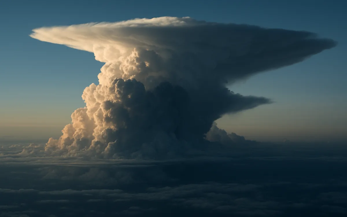
| Convective | Rising and sinking air in and near storms | In and around cumulus and cumulonimbus | Area yes, cell no |
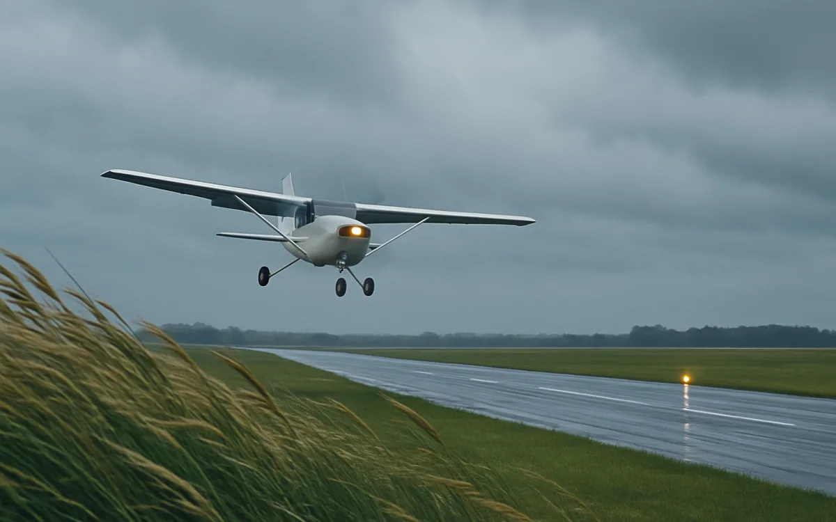
| Mechanical | Wind over terrain or obstacles | Low level, downwind of ridges and buildings | Yes, from wind and terrain |
| Clear-air | Wind shear at the edges of jet streams | Cruise levels, no cloud at all | Partly — probability, not position |
| Wake | The vortices behind another aircraft | Behind and below a preceding aircraft | Managed by separation, not forecast |
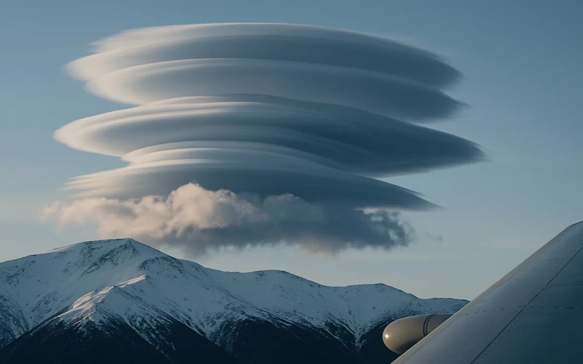
Mountain wave is a specific and severe form of mechanical turbulence, and it deserves its own treatment because it reaches cruise levels far from the terrain that caused it.
Clear-air turbulence, the one with no warning#
CAT occurs where fast-moving air shears against slower air, principally at the boundaries of jet streams, and it produces the sudden events that make the news. There is no cloud, no radar return and no visual cue whatsoever — the only sensors are other aircraft and the model forecast. It is most common in winter when jet streams are strongest, and the strongest jet stream on the planet, over East Asia in winter, is the most reliable producer of it.
- Look for it near the jet core, particularly on the cold side and below the axis.
- Winter maximum, when the temperature gradient and therefore the jet is strongest.
- Forecast as probability areas on significant weather charts, not as locations.
- Pilot reports are the primary real-time source, which is why they are passed along the route.
- Rising exposure in recent decades is an active area of research linked to jet stream changes.
This is the type that injures unbelted passengers in cruise. It arrives without a cue, which is precisely why the seatbelt sign advice is not theatre.
Mountain wave and rotor#
When strong wind blows across a ridge with a stable layer above, the air oscillates downwind in standing waves that can extend to the stratosphere and hundreds of kilometres away. The wave itself is smooth; the danger is the rotor beneath it — a rolling, violent circulation under the wave crests — and the sustained downdraughts, which can exceed the climb rate of many aircraft.
| Feature | Appearance | Hazard |
|---|---|---|
| Lenticular cloud | Smooth, lens-shaped, stationary | Marks the wave; smooth but indicates strong flow |
| Rotor cloud | Ragged, rolling, below the wave | Severe to extreme turbulence |
| Cap cloud | Over the ridge, spilling down the lee | Terrain obscured and strong downdraught |
| Clear wave | No cloud in dry air | All of the above with no visual warning |
The classic setup is wind above about 25 knots across the ridge, roughly perpendicular, with a stable layer near ridge height. Those conditions are visible in a forecast a day out.
How turbulence is reported and forecast#
Turbulence severity is reported in four levels, and the definitions are about the effect on the aircraft and occupants rather than a measurement. Forecasts come as SIGMETs for severe turbulence, graphical products by flight level, and increasingly as model-derived indices — but the accepted currency in flight is still the pilot report.
| Severity | Effect |
|---|---|
| Light | Slight erratic changes; occupants feel a slight strain against the belt |
| Moderate | Changes in altitude and attitude; occupants feel definite strain; loose objects move |
| Severe | Large abrupt changes; aircraft momentarily out of control; occupants forced violently against belts |
| Extreme | Aircraft violently tossed; possible structural damage |
Note that severe is defined partly as the aircraft being momentarily out of control. It is a rare report, and it is why crews pass it on immediately.
Is it dangerous?#
For the aircraft, essentially never. Airframes are certified to withstand loads far beyond what turbulence realistically imposes, and structural damage from turbulence is extremely rare. For people inside the cabin, it is the leading cause of in-flight injuries, and the overwhelming majority of those injuries happen to people who were not wearing a seatbelt when the seatbelt sign was on, or during unexpected clear-air turbulence in cruise when the sign was off.
- The aircraft is not at risk in ordinary turbulence, including severe turbulence.
- Cabin crew, who are standing by definition, are injured most often.
- Almost all passenger injuries are avoidable with a fastened belt.
- Crews slow to the turbulence penetration speed, which reduces the loads.
- Reroutes and level changes are requested to avoid known areas, and pilot reports drive that.
The honest summary: turbulence is uncomfortable and occasionally frightening, and the risk it poses is almost entirely about whether you are strapped in.
Avoiding it in planning#
- Read the significant weather chart for forecast CAT areas at your cruise level.
- Check the jet stream position and pick a level away from the shear zone where possible.
- For low-level flight, check wind speed and direction against the terrain — perpendicular flow over a ridge above about 25 knots means wave and rotor.
- Read SIGMETs for the whole route, not just the departure and arrival areas.
- Note recent pilot reports along the track; they are the only direct measurement available.
- In the cabin, keep the belt fastened whenever seated. It is the whole of the passenger-side mitigation.
Frequently asked questions
What causes clear-air turbulence?
Wind shear at the boundaries of jet streams, where fast-moving air rubs against slower air and the flow breaks down into eddies. It happens in cloudless air, which is why there is no visual cue and no radar return — the only real-time sensors are other aircraft. It peaks in winter when jet streams are strongest, and is most common near the jet core, particularly on the cold side and below the axis. Forecasts give probability areas rather than positions.
Is turbulence dangerous for the aircraft?
Almost never. Airframes are certified for loads well beyond what turbulence realistically produces, and structural damage from it is extremely rare. The real risk is to people inside the cabin: turbulence is the leading cause of in-flight injuries, and the overwhelming majority of those injuries are to people who were not wearing a seatbelt. That is the entire reason the advice to stay belted when seated is repeated so insistently.
Can turbulence be forecast accurately?
It depends on the type. Mechanical turbulence and mountain wave are forecast well, because they follow from wind speed and direction over known terrain — a day of strong perpendicular flow across a ridge is predictable. Convective turbulence is forecast at the level of an area, not an individual cell. Clear-air turbulence is forecast as probability regions from model shear indices, which is useful for choosing a cruise level but never tells you exactly where you will meet it. Wake turbulence is not forecast at all; it is managed by separation rules.
turbulence typesclear air turbulenceis turbulence dangerousmountain wave turbulenceturbulence forecast aviationwake turbulence explained