Thunderstorms and Convective Weather: Why Aircraft Go Around Them
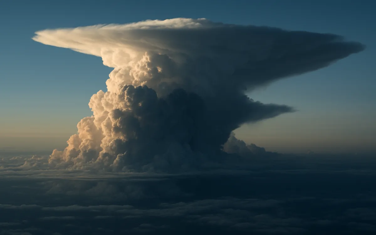
A thunderstorm is not bad weather. It is a machine that concentrates six separate hazards into a few cubic kilometres of air, and aircraft do not fly through one for the same reason they do not fly into terrain.
The rule that follows is simple and almost never broken: you go around, not over, not under, and not through. Everything else in this guide is detail about how far around, and why the alternatives do not work.
What is inside a cumulonimbus#
- Severe or extreme turbulence, capable of exceeding the structural design load in the worst cells.
- Updraughts and downdraughts that can exceed anything an aircraft can outclimb.
- Hail, which can be thrown out of the top and sides and encountered in clear air beside the cell.
- Lightning, which rarely damages an aircraft badly but can and does cause it.
- Heavy precipitation that reduces visibility to nothing and can affect engine operation.
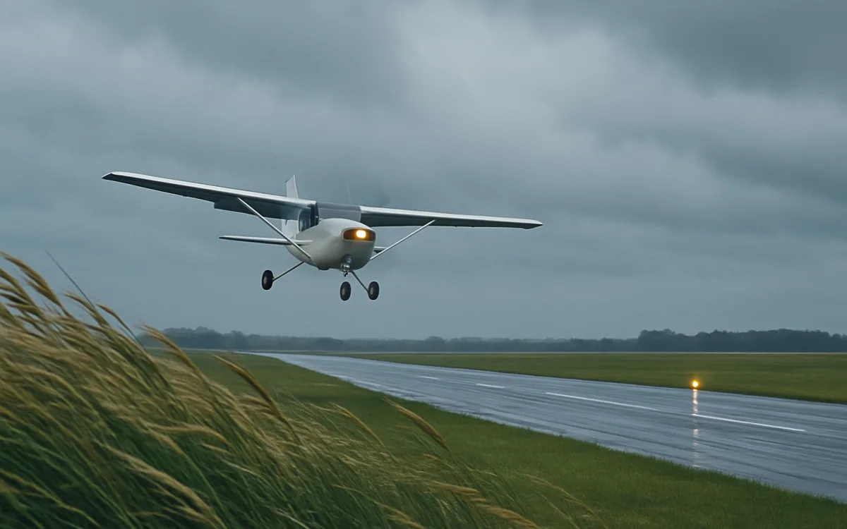
- Microbursts on the approach and departure path — a downdraught and outflow that has caused multiple accidents.
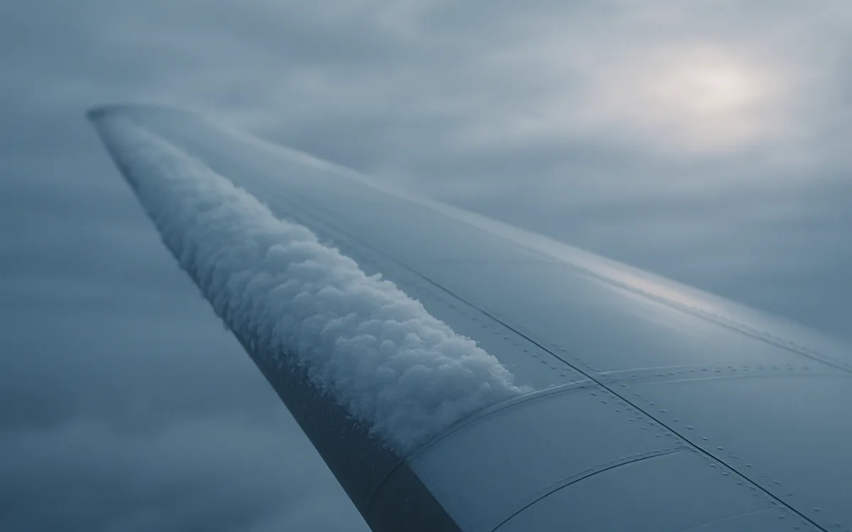
- Airframe icing throughout the mid-levels of the cell.
Any one of those would be a reason to keep away. A mature cell contains all seven simultaneously, which is why the response is categorical rather than a judgement call.
The three stages, and which one is worst#
| Stage | Duration | Dominant feature | Hazard |
|---|---|---|---|
| Cumulus (developing) | 15–20 minutes | Updraught throughout | Turbulence, rapid growth, no radar echo yet |
| Mature | 15–30 minutes | Updraught and downdraught together | All hazards at maximum, including hail and microburst |
| Dissipating | 20–30 minutes | Downdraught throughout | Still severe; outflow and windshear persist |
The developing stage is deceptively dangerous because the cell has not yet produced enough precipitation to show clearly on radar, and it can grow through a cruising level in minutes.
How far around#
The standard guidance is to remain at least 20 nautical miles from a thunderstorm, and further from a severe cell or one with an anvil, because hail can be thrown well outside the visible cloud. In practice crews avoid on radar with a wide margin, upwind rather than downwind where possible, and never accept a gap between two cells that is closing.
- 20 NM is the conventional minimum from an active cell.
- Give more room downwind — the anvil throws hail and turbulence out that side.
- Do not fly a gap under about 20 NM wide between two cells; gaps close faster than they look.
- Never fly under a cell: that is where the microburst and the heaviest precipitation are.
- Overflying requires a very large margin above the top, and the tops in the tropics routinely exceed what airliners can reach.
Radar shows precipitation, not turbulence. A cell in the developing stage or one with a hail shaft above the beam can look far weaker on screen than it is.
Squall lines, embedded cells and the tropical case#
Isolated cells are the easy problem. Squall lines — organised lines of storms sometimes hundreds of kilometres long — remove a route segment entirely, and the only options are around the end or waiting. Embedded thunderstorms hidden inside a wider stratiform layer are dangerous precisely because they cannot be seen, only detected. And in the tropics, where the convection is daily rather than seasonal, cells build higher and the diversion becomes routine planning rather than an exception.
| Type | Where and when | Operational effect |
|---|---|---|
| Air-mass, isolated | Summer afternoons, mid-latitudes | Deviations of a few miles |
| Squall line | Ahead of a cold front | Route segment closed for hours |
| Embedded | Within a warm-frontal layer | Radar-only detection; unexpected severe turbulence |
| Supercell | Continental interiors | Extreme hazard, very wide avoidance |
| Tropical, daily | Intertropical convergence zone | Continuous deviation planning, high tops |
What the forecast can and cannot tell you#
Convection is the hardest thing in the forecaster’s job. Whether a region will develop storms is often known a day ahead with reasonable confidence. Where a specific cell will stand at a specific hour is not knowable at that range — which is exactly why TAFs express it as PROB30 or PROB40 and why the useful tools inside a few hours are radar and satellite rather than a forecast made yesterday.
- Convective outlooks and significant weather charts give the area and the general timing.
- TAF PROB groups are the aerodrome-level hedge.
- SIGMETs are issued for observed or expected severe convection and are the warning that matters in flight.
- Weather radar, on board and on the ground, is the tool in the last hour.
- Satellite imagery shows the rapidly growing tops that radar has not caught yet.
This is the phenomenon where a forecast is least specific and the live picture matters most. Treat a convective TAF as a warning to look, not as a schedule.
What passengers experience#
On the ground, thunderstorms produce ground stops and long taxi queues, because departures have to be metered onto the routes that are still open. In the air, they produce deviations that add fuel and time, a seatbelt sign that stays on, and occasionally a diversion when a cell parks over the destination. Turbulence encountered near storms is the main cause of in-flight injuries, and almost all of those injuries are to people who were not wearing a seatbelt.
That last point is the only piece of advice in this guide that a passenger can act on, and it is the one that has been demonstrated to matter.
Frequently asked questions
Why do planes avoid thunderstorms instead of flying through them?
Because a mature cumulonimbus contains severe turbulence, violent updraughts and downdraughts, hail, lightning, heavy precipitation, microbursts and icing all at once, and the turbulence alone can approach the structural limits of the airframe. There is no technique for flying through one safely, so the standard is to avoid it laterally by at least 20 nautical miles. Flying under a cell puts the aircraft in the microburst and the heaviest rain; flying over one requires a margin above tops that often exceed the aircraft ceiling.
How close can an aircraft fly to a thunderstorm?
The conventional minimum is 20 nautical miles from an active cell, and more downwind, because hail can be thrown out of the anvil into apparently clear air well beyond the visible cloud. Crews also refuse gaps narrower than about 20 nautical miles between two cells, because those gaps close faster than they appear to on radar. Radar shows precipitation rather than turbulence, so a developing cell can be far more dangerous than its echo suggests.
Can weather radar see all thunderstorms?
No, and the gaps are important. Airborne radar detects precipitation, so a cell in the developing stage that has not yet produced enough rain returns a weak echo while already containing severe updraughts. Attenuation means a heavy cell can hide a second one behind it. Hail above the beam may not appear at all. Satellite imagery of rapidly growing tops, and the pattern of the cells rather than the raw returns, fill part of that gap.
thunderstorms aviationwhy planes avoid thunderstormscumulonimbus flight hazardconvective weather aviationsquall line flight delaysaircraft weather radar limits