Aviation weather in Southeast Asia
Convection every afternoon rather than once a season: towering cumulonimbus, tropical cyclones from the Pacific, low-level windshear on approach and haze that closes airports for weeks in some years.
At a glance
| Main hazards | Thunderstorms, Tropical cyclones, Monsoon rain, Low visibility, Low-level windshear |
|---|---|
| Most demanding season | May – October |
| Thunderstorm season | All year |
| Representative airports | WSSS · VTBS · WIII · RPLL · WMKK |
| Official sources | Meteorological Service Singapore · Hong Kong Observatory aviation weather |
The services linked above are the authoritative source for this region. This page explains what their reports contain; it is not a substitute for an official briefing.
What these hazards mean
Related guides
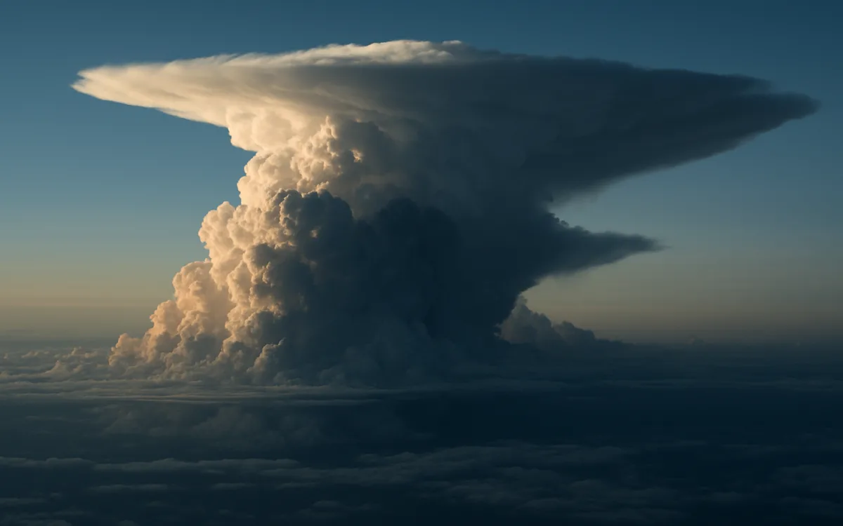
Thunderstorms and Convective Weather: Why Aircraft Go Around Them
A cumulonimbus contains every serious weather hazard at once. Here is what is inside one, how far aircraft stay away, and why the avoidance is lateral.

Monsoon and Tropical Aviation Weather: Flying the Wet Season
What the monsoon actually does to flights, why tropical convection is a daily rather than seasonal problem, and how the reports read differently in the tropics.

Turbulence: The Four Types, and Which Ones Can Be Forecast
Clear-air, mechanical, convective and wake turbulence come from different causes and are predicted with very different success. Here is which is which.